
Erlebe Wien und Community-Racing bei der adidas Runners Vienna Night Mile am 30. August!

_Peter_Rigaud.jpg "Wiener Symphoniker. Bild: Peter Rigaud")
.jpg "Bild: ARCOTEL Kaiserwasser")
Limitierte Sonderkonditionen in unseren Partnerhotels - direkt beim Start und in ganz Wien!
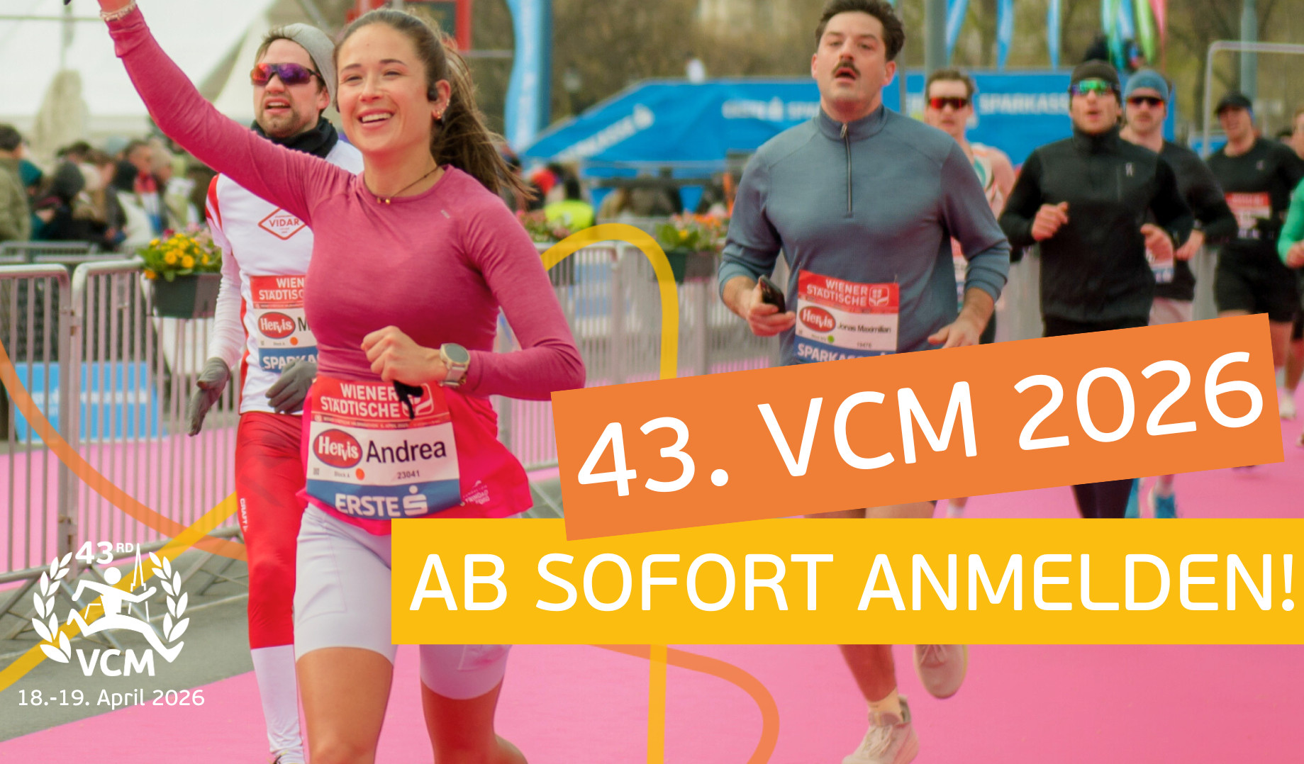
Vienna City Marathon, 19. April 2026
Tauche ein in den Marathon-Sound der Welthauptstadt der Musik. Die Anmeldung für Marathon & Halbmarathon ist geöffnet.
Erlebe Wien und Community-Racing bei der adidas Runners Vienna Night Mile am 30. August!
Limitierte Sonderkonditionen in unseren Partnerhotels - direkt beim Start und in ganz Wien!
.jpg "Aaron Gruen beim Boston 10K. Bild: MarathonFoto - nicht honorarfrei verwendbar")